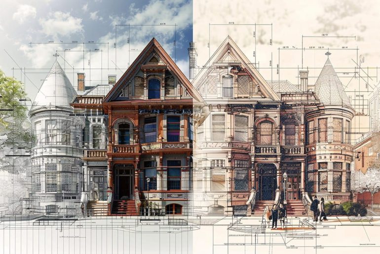
Imagine you’re designing a new road. In the old days, you might have used separate tools: maps on paper and drawings on a computer program. But what if you could combine these worlds? That’s the power of AutoCAD Spatial Manager, a special add-on for AutoCAD software.
AutoCAD Spatial Manager bridges the gap between CAD & GIS. Import geospatial data, visualize terrain, & manage spatial info directly in AutoCAD for efficient civil engineering projects.
What is AutoCAD Spatial Manager?

Think of it like a bridge between two programs: AutoCAD, which is excellent for detailed drawings, and Geographic Information Systems (GIS), which deals with maps and real-world locations. Spatial Manager lets you bring map data right into your AutoCAD drawings. It means you can see things like:
- Hills and valleys (fancy term: terrain)
- Existing roads, rivers, and buildings
- Boundaries of properties
Why use AutoCAD Spatial Manager?

Here’s why this bridge between maps and drawings is so helpful:
- See it All: Imagine designing a road and being able to see right away if it goes through a mountain! AutoCAD Spatial Manager helps you avoid surprises by showing you the natural world in your drawings.
- Work Smarter: No more switching between programs. With everything in one place, you can work faster and make better design decisions.
- Team Up Easier: Everyone involved in the project, from engineers to planners, can see the same information in the same program. It makes communication and teamwork a breeze!
- Save Time: Forget manually entering data from maps. AutoCAD Spatial Manager lets you import information directly, saving you time.
What can you do with AutoCAD Spatial Manager?
This powerful tool can be used for many different projects, such as:
- Building Roads and Bridges: See the terrain and existing roads to plan the best route for your new highway.
- Designing Neighborhoods: Plan where houses, parks, and schools will go, considering rivers and hills.
- Managing Water Resources: Design drainage systems and analyze flood risks by seeing where water naturally flows.
Also read: Important AutoCAD shortcuts for professionals
Imagine a day with AutoCAD Spatial Manager
Let’s say you’re an engineer working on a new park. You can use AutoCAD Spatial Manager to:
- Import a map of the area showing the land’s elevation (how high or low it is).
- See where there are already trees and buildings.
- Plan walking paths and playgrounds to avoid any low-lying areas that might flood.
All this information in one place allows you to design a beautiful and functional park!
Getting started with AutoCAD Spatial Manager
If you’re interested in learning more, there are many resources available online, including:
- The official website of the software developer Spatial Manager
- Online tutorials that can teach you the basics
The future of AutoCAD Spatial Manager
Just like technology keeps getting better, so will AutoCAD Spatial Manager. Here are some exciting possibilities for the future:
- Working Together with Building Models (BIM): Imagine your drawings being even smarter and seamlessly integrated with 3D building models!
- Projects in the Cloud: Imagine collaborating on projects with people worldwide, all thanks to the cloud!
- Super Data Analysis Tools: Imagine the software can analyze all that map data and give you more insights for your projects!
Conclusion
AutoCAD Spatial Manager is a powerful tool that can revolutionize how you work with maps and drawings. Combining these two worlds allows you to design better projects faster and more easily. So, if you’re looking for a way to work smarter, not harder, AutoCAD Spatial Manager might be the bridge you’ve been waiting for!
You may also look at the followings articles
- Designing AV/IT systems just got easier with AutoCAD AVCAD
- Introducing AutoCAD Civil 3D
- Adobe Illustrator: Unleashing your creativity in the world of Vector Graphics


